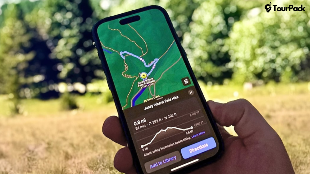
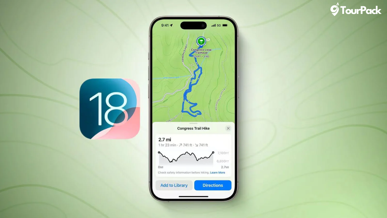
Apple has taken a significant step forward for outdoor enthusiasts with the introduction of hiking and trail-focused features in Apple Maps, rolling out with iOS 18. This update is set to revolutionize the way hikers, walkers, and adventurers explore the outdoors. Here’s everything you need to know about the new features and how they can enhance your next adventure.
Comprehensive Trail Networks for National Parks
With this update, Apple Maps now provides detailed trail information for all 63 U.S. national parks. The feature offers turn-by-turn voice-guided directions on trails, ensuring hikers stay on track and reach their destinations safely. Whether you’re tackling a short day hike or a multi-day adventure, Apple Maps has you covered.
Additionally, users can create and save custom trails tailored to their specific preferences. These custom routes can be accessed offline, making them perfect for areas with limited or no cellular reception.
Topographic Maps for Better Planning
For the first time, Apple Maps will display topographic data, giving hikers critical information about elevation changes and terrain. These maps allow adventurers to plan their hikes more effectively, ensuring they’re prepared for steep climbs, river crossings, or challenging descents.

Customizable Walking and Hiking Routes
Apple Maps now supports creating personalized walking and hiking routes, not just in wilderness areas but also in urban landscapes. Whether you’re mapping out a scenic walk through a city or planning a weekend escape into nature, these routes can be saved and accessed offline. Integration with Apple Watch ensures you can follow your planned route hands-free.
Enhanced Places Library
Apple’s new Places Library lets users organize and save their favorite hiking trails, curated guides, and even custom routes. Each saved location can be accompanied by personal notes, making it easy to remember tips or experiences for future visits. The Places Library also supports syncing across Apple devices, so your data is always accessible.
Satellite Messaging for Remote Locations
One of the standout additions is satellite messaging capability. Designed for those exploring remote areas, this feature allows users to send messages even when they’re far from cellular towers or Wi-Fi networks. This added layer of safety will undoubtedly appeal to backcountry hikers and adventurers.
A Game-Changer for Hikers
These features position Apple Maps as a serious competitor to established hiking apps. By offering detailed trail networks, offline capabilities, and integrated topographic data, Apple aims to provide a seamless and user-friendly experience for outdoor enthusiasts. Many of these features will be available for free, making them accessible to a wider audience.
When Can You Try These Features?
The new hiking-focused features in Apple Maps will become available with the release of iOS 18 later this year. Whether you’re a seasoned hiker or someone just starting to explore the great outdoors, Apple Maps is set to become your ultimate companion for adventure.
Stay tuned for the release, and get ready to discover trails and explore nature like never before!


Leave a Comment
Your email address will not be published. Required fields are marked *